
Bradford Island
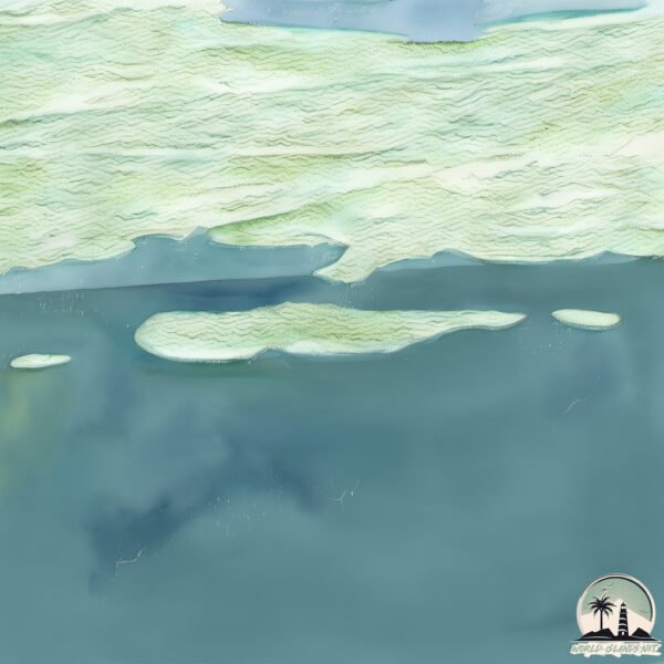
Welcome to Bradford Island, a Polar island in the The Northwestern Passages, part of the majestic Arctic Ocean. This guide offers a comprehensive overview of what makes Bradford Island unique – from its geography and climate to its population, infrastructure, and beyond. Dive into the details:
- Geography and Size: Explore the island’s size and location.
- Climate and Weather: Weather patterns and temperature.
- Topography and Nature: Uncover the natural wonders of the island.
- Infrastructure and Travelling: Insights on reaching, staying, and making the most of your visit.
- News and Headlines: Latest News.
Geography and size of Bradford Island
Size: 20.2 km²
Coastline: 39.5 km
Ocean: Arctic Ocean
Sea: The Northwestern Passages
Continent: North America
Bradford Island is a Medium Island spanning 20 km² with a coastline of 39 km.
Archipel: Queen Elizabeth Islands – The northernmost part of the Canadian Arctic Archipelago, the Queen Elizabeth Islands are a collection of about 35 major islands. This remote and sparsely populated region is characterized by its polar climate, ice caps, and glaciers. The islands are named in honor of Queen Elizabeth II and are home to diverse Arctic wildlife, including polar bears and seals, and are important for climate research.
Tectonic Plate: North America – Covers North America and parts of the Atlantic and Arctic Oceans, characterized by diverse geological features and varying levels of seismic activity.
The geographic heart of the island is pinpointed at these coordinates:
Latitude: 75.53900804 / Longitude: -101.37656875
Climate and weather of Bradford Island
Climate Zone: Polar
Climate Details: Tundra
Temperature: Cold
Climate Characteristics: The tundra climate features long, extremely cold winters and short, cool summers. Vegetation is limited to mosses, lichens, and small shrubs due to the low temperatures and short growing seasons. Biodiversity is low, but some specialized species thrive.
Topography and nature of Bradford Island
Timezone: UTC-06:00
Timezone places: America/Chicago
Max. Elevation: 65 m
Mean Elevation: 12 m
Vegetation: Sparse Vegetation
Tree Coverage: 34%
The mean elevation is 12 m. The highest elevation on the island reaches approximately 65 meters above sea level. The island is characterized by Plains: Flat, low-lying lands characterized by a maximum elevation of up to 200 meters. On islands, plains are typically coastal lowlands or central flat areas.
Dominating Vegetation: Sparse Vegetation
These regions have limited plant growth, typically due to extreme conditions like aridity or poor soils. Vegetation is scattered and consists of hardy plant species. Bradford Island has a tree cover of 34 %.
Vegetation: 4 vegetation zones – Diverse Island
Four distinct vegetation zones mark these islands as ecologically diverse. They might feature varied landscapes such as forests, beaches, grasslands, and rocky areas. Such diversity reflects the island’s complex ecological interactions and varied habitats, which can support a rich array of wildlife and plant species.
Infrastructure and Travelling to Bradford Island
Does the island have a public airport? no.
There is no public and scheduled airport on Bradford Island. The nearest airport is Resolute Bay Airport, located 700 km away.
Does the island have a major port? no.
There are no major ports on Bradford Island. The closest major port is RESOLUTE BAY, approximately 598 km away.
The mean population of Bradford Island is 0 per km². Bradford Island is Uninhabited. The island belongs to Canada.
Continuing your journey, Helena is the next notable island, situated merely km away.
Canada is classified as Developed region: G7: Group of Seven – Major advanced economies, including Canada, France, Germany, Italy, Japan, the United Kingdom, and the United States. The level of income is High income: OECD.
News – Latest Updates and Headlines from Bradford Island
Stay informed with the most recent news and important headlines from Bradford Island. Here’s a roundup of the latest developments.
- Motorcyclist, 62, in hospital after traffic island crash on Bradford district road - Telegraph and Arguson 16 September 2026
Motorcyclist, 62, in hospital after traffic island crash on Bradford district road Telegraph and Argus
- 'Game Changer' - Bradford Island at Bonneville Dam declared Superfund Site - Columbia Community Connectionon 9 September 2026
'Game Changer' - Bradford Island at Bonneville Dam declared Superfund Site Columbia Community Connection
- OPP dismantles drug trafficking operation linked to Walpole Island, Chatham-Kent - AM 800 CKLWon 19 August 2026
OPP dismantles drug trafficking operation linked to Walpole Island, Chatham-Kent AM 800 CKLW
- Bradford Prep vs Mountain Island - Boys Varsity Football 08/14/2026 | Watch Live & On Demand - NFHS Networkon 14 August 2026
Bradford Prep vs Mountain Island - Boys Varsity Football 08/14/2026 | Watch Live & On Demand NFHS Network
- Bradford Prep vs Mountain Island - Boys Middle School Football 08/14/2026 | Live & On Demand - NFHS Networkon 14 August 2026
Bradford Prep vs Mountain Island - Boys Middle School Football 08/14/2026 | Live & On Demand NFHS Network
- Toronto council demands Ford government return land province took for rejected Billy Bishop Airport expansion - CBCon 29 July 2026
Toronto council demands Ford government return land province took for rejected Billy Bishop Airport expansion CBC
- Contra Costa Sheriff’s Marine Patrol arrests suspect fleeing on the Delta in stolen boat - Contra Costa Heraldon 18 July 2026
Contra Costa Sheriff’s Marine Patrol arrests suspect fleeing on the Delta in stolen boat Contra Costa Herald
- MIC Girls Varsity Volleyball @ Bradford Prep - MaxPrepson 17 July 2026
MIC Girls Varsity Volleyball @ Bradford Prep MaxPreps
- Bradford Joseph Doucette - peicanada.comon 29 June 2026
Bradford Joseph Doucette peicanada.com
- Media Release June 1 -Brad Doubles Down on Failed Conservative Politics (and Politicians) - Progress Torontoon 1 June 2026
Media Release June 1 -Brad Doubles Down on Failed Conservative Politics (and Politicians) Progress Toronto
Please note: The data used here has been primarily extracted from satellite readings. Deviations from exact values may occur, particularly regarding the height of elevations and population density. Land area and coastline measurements refer to average values at mean high tide.