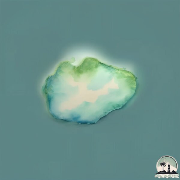
Doughboy Island
Welcome to Doughboy Island, a Temperate island in the Bass Strait, part of the majestic Pacific Ocean. This guide offers a comprehensive overview of what makes Doughboy Island unique – from its geography and climate to its population, infrastructure, and beyond. Dive into the details:
- Geography and Size: Explore the island’s size and location.
- Climate and Weather: Weather patterns and temperature.
- Topography and Nature: Uncover the natural wonders of the island.
- Infrastructure and Travelling: Insights on reaching, staying, and making the most of your visit.
- News and Headlines: Latest News.
Geography and size of Doughboy Island
Size: 0.159 km²
Coastline: 1.8 km
Ocean: Pacific Ocean
Sea: Bass Strait
Continent: Oceania
Doughboy Island is a Tiny Island spanning 0.159 km² with a coastline of 1.8 km.
Archipel: –
Tectonic Plate: Australia – A major tectonic plate covering Australia, New Zealand, and parts of the Indian and Pacific Oceans, known for its relative stability and occasional seismic activity.
The geographic heart of the island is pinpointed at these coordinates:
Latitude: -40.34138079 / Longitude: 148.0514557
Climate and weather of Doughboy Island
Climate Zone: Temperate
Climate Details: Temperate Oceanic Climate
Temperature: Warm Summer
Climate Characteristics: Known for its moderate year-round temperatures with ample rainfall and no dry season. Warm summers are characteristic.
Topography and nature of Doughboy Island
Timezone: UTC+10:00
Timezone places: Australia/Sydney
Max. Elevation: 2 m
Mean Elevation: 1 m
Vegetation: Herbaceous Cover
Tree Coverage: 42%
The mean elevation is 1 m. The highest elevation on the island reaches approximately 2 meters above sea level. The island is characterized by Plains: Flat, low-lying lands characterized by a maximum elevation of up to 200 meters. On islands, plains are typically coastal lowlands or central flat areas.
Dominating Vegetation: Herbaceous Cover
Comprising mainly of grasses, herbs, and ferns, these areas are common in prairies, meadows, and savannas, and can vary widely in species composition. Doughboy Island has a tree cover of 42 %.
Vegetation: 1 vegetation zones – Minimal Diversity Island
These islands exhibit the most basic level of ecological diversity, often characterized by a single dominant vegetation type. This could be due to extreme environmental conditions, limited land area, or significant human impact. They represent unique ecosystems where specific species have adapted to thrive in these singular environments.
Infrastructure and Travelling to Doughboy Island
Does the island have a public airport? no.
There is no public and scheduled airport on Doughboy Island. The nearest airport is Flinders Island Airport, located 28 km away.
Does the island have a major port? no.
There are no major ports on Doughboy Island. The closest major port is LAUNCESTON, approximately 161 km away.
The mean population of Doughboy Island is 0 per km². Doughboy Island is Uninhabited. The island belongs to Australia.
Continuing your journey, Badger is the next notable island, situated merely km away.
Doughboy Island


Australia is classified as Developed region: nonG7: Developed economies outside of the Group of Seven, characterized by high income and advanced economic structures. The level of income is High income: OECD.
News – Latest Updates and Headlines from Doughboy Island
Stay informed with the most recent news and important headlines from Doughboy Island. Here’s a roundup of the latest developments.
Please note: The data used here has been primarily extracted from satellite readings. Deviations from exact values may occur, particularly regarding the height of elevations and population density. Land area and coastline measurements refer to average values at mean high tide.