
Garrobo
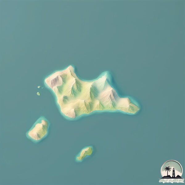
Welcome to Garrobo, a Tropical island in the North Pacific Ocean, part of the majestic Pacific Ocean. This guide offers a comprehensive overview of what makes Garrobo unique – from its geography and climate to its population, infrastructure, and beyond. Dive into the details:
- Geography and Size: Explore the island’s size and location.
- Climate and Weather: Weather patterns and temperature.
- Topography and Nature: Uncover the natural wonders of the island.
- Infrastructure and Travelling: Insights on reaching, staying, and making the most of your visit.
- News and Headlines: Latest News.
Geography and size of Garrobo
Size: 0.852 km²
Coastline: 4.4 km
Ocean: Pacific Ocean
Sea: North Pacific Ocean
Continent: North America
Garrobo is a Tiny Island spanning 0.852 km² with a coastline of 4.4 km.
Archipel: –
Tectonic Plate: Caribbean – Covering the Caribbean Sea and surrounding regions, this plate is bordered by the North American Plate and the South American Plate. Known for seismic activity, including earthquakes and volcanic eruptions, and features like the Puerto Rico Trench.
The geographic heart of the island is pinpointed at these coordinates:
Latitude: 13.33204852 / Longitude: -87.71308315
Climate and weather of Garrobo
Climate Zone: Tropical
Climate Details: Tropical Savanna, Wet
Temperature: Hot
Climate Characteristics: Defined by distinct wet and dry seasons with high temperatures year-round. Pronounced rainfall occurs during the wet season, while the dry season is marked by drought.
Topography and nature of Garrobo
Timezone: UTC-06:00
Timezone places: America/Chicago
Max. Elevation: 39 m
Mean Elevation: 22 m
Vegetation: Deciduous Broadleaf Forest
Tree Coverage: 85%
The mean elevation is 22 m. The highest elevation on the island reaches approximately 39 meters above sea level. The island is characterized by Plains: Flat, low-lying lands characterized by a maximum elevation of up to 200 meters. On islands, plains are typically coastal lowlands or central flat areas.
Dominating Vegetation: Deciduous Broadleaf Forest
Composed of broadleaf trees that shed their leaves seasonally. These forests are commonly found in temperate zones and experience distinct seasonal changes. Garrobo has a tree cover of 85 %.
Vegetation: 1 vegetation zones – Minimal Diversity Island
These islands exhibit the most basic level of ecological diversity, often characterized by a single dominant vegetation type. This could be due to extreme environmental conditions, limited land area, or significant human impact. They represent unique ecosystems where specific species have adapted to thrive in these singular environments.
Infrastructure and Travelling to Garrobo
Does the island have a public airport? no.
There is no public and scheduled airport on Garrobo. The nearest airport is Toncontín International Airport, located 97 km away.
Does the island have a major port? no.
There are no major ports on Garrobo. The closest major port is LA UNION, approximately 13 km away.
The mean population of Garrobo is 79 per km². Garrobo is Gently Populated. The island belongs to Honduras.
Continuing your journey, Tigre is the next notable island, situated merely km away.
Honduras is classified as Developing region: Regions characterized by lower income levels, with economies in the process of industrialization and modernization. The level of income is Lower middle income.
News – Latest Updates and Headlines from Garrobo
Stay informed with the most recent news and important headlines from Garrobo. Here’s a roundup of the latest developments.
Please note: The data used here has been primarily extracted from satellite readings. Deviations from exact values may occur, particularly regarding the height of elevations and population density. Land area and coastline measurements refer to average values at mean high tide.