
Île de Tatihou
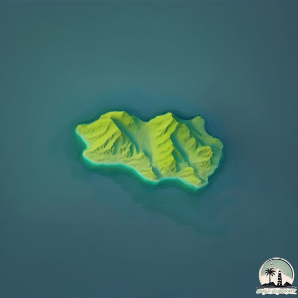
Welcome to Île de Tatihou, a Temperate island in the English Channel, part of the majestic Atlantic Ocean. This guide offers a comprehensive overview of what makes Île de Tatihou unique – from its geography and climate to its population, infrastructure, and beyond. Dive into the details:
- Geography and Size: Explore the island’s size and location.
- Climate and Weather: Weather patterns and temperature.
- Topography and Nature: Uncover the natural wonders of the island.
- Infrastructure and Travelling: Insights on reaching, staying, and making the most of your visit.
- News and Headlines: Latest News.
Geography and size of Île de Tatihou
Size: 0.377 km²
Coastline: 2.6 km
Ocean: Atlantic Ocean
Sea: English Channel
Continent: Europe
Île de Tatihou is a Tiny Island spanning 0.377 km² with a coastline of 2.6 km.
Archipel: –
Tectonic Plate: Eurasia – One of the world’s largest tectonic plates, the Eurasian Plate covers a significant portion of Europe and Asia. It’s characterized by diverse geological features, including the Ural Mountains, the European Plain, and the Himalayas formed from its collision with the Indian Plate.
The geographic heart of the island is pinpointed at these coordinates:
Latitude: 49.58909837 / Longitude: -1.24395886
Climate and weather of Île de Tatihou
Climate Zone: Temperate
Climate Details: Temperate Oceanic Climate
Temperature: Warm Summer
Climate Characteristics: Known for its moderate year-round temperatures with ample rainfall and no dry season. Warm summers are characteristic.
Topography and nature of Île de Tatihou
Timezone: UTC+01:00
Timezone places: Europe/Paris
Max. Elevation: -1 m
Mean Elevation: -2 m
Vegetation: Agricultural Mosaic
Tree Coverage: 31%
The mean elevation is -2 m. Remarkably, this unique island barely emerges above the sea level, showcasing nature’s fascinating interplay with the ocean. The island is characterized by Plains: Flat, low-lying lands characterized by a maximum elevation of up to 200 meters. On islands, plains are typically coastal lowlands or central flat areas.
Dominating Vegetation: Agricultural Mosaic
A mix of cropland and natural vegetation, often seen in rural landscapes where agricultural fields are interspersed with patches of natural habitats. Île de Tatihou has a tree cover of 31 %.
Vegetation: 2 vegetation zones – Low Diversity Island
Islands with two distinct vegetation zones offer slightly more ecological variety. These zones could be due to differences in elevation, moisture, or other environmental factors. While still limited in biodiversity, these islands may offer a contrast between the two zones, such as a coastline with mangroves and an inland area with grassland.
Infrastructure and Travelling to Île de Tatihou
Does the island have a public airport? no.
There is no public and scheduled airport on Île de Tatihou. The nearest airport is Cherbourg-Maupertus Airport, located 25 km away.
Does the island have a major port? no.
There are no major ports on Île de Tatihou. The closest major port is RADE DE CHERBOURG, approximately 43 km away.
The mean population of Île de Tatihou is 262 per km². Île de Tatihou is Moderately Inhabited. The island belongs to United Kingdom.
Continuing your journey, Jersey is the next notable island, situated merely km away.
United Kingdom is classified as Developed region: G7: Group of Seven – Major advanced economies, including Canada, France, Germany, Italy, Japan, the United Kingdom, and the United States. The level of income is High income: OECD.
News – Latest Updates and Headlines from Île de Tatihou
Stay informed with the most recent news and important headlines from Île de Tatihou. Here’s a roundup of the latest developments.
- UK households urged to stock up on nine items. Here’s what to buy - The Independentby "united-kingdom" - Google News on 12 October 2026
UK households urged to stock up on nine items. Here’s what to buy The Independent
- U.K. prime minister accuses Russia of meddling in Brexit vote - The Washington Postby "united-kingdom" - Google News on 12 October 2026
U.K. prime minister accuses Russia of meddling in Brexit vote The Washington Post
- Secretary of State Rubio’s Call with UK Foreign Secretary Miliband - U.S. Department of State (.gov)by "united-kingdom" - Google News on 12 October 2026
Secretary of State Rubio’s Call with UK Foreign Secretary Miliband U.S. Department of State (.gov)
- US, UK discuss maritime security in Strait of Hormuz, resolving Russia-Ukraine war - Anadolu Ajansıby "united-kingdom" - Google News on 12 October 2026
US, UK discuss maritime security in Strait of Hormuz, resolving Russia-Ukraine war Anadolu Ajansı
- Tehran denies involvement in UK Fairford air base incident as Britain summons Iranian ambassador - France 24by "united-kingdom" - Google News on 12 October 2026
Tehran denies involvement in UK Fairford air base incident as Britain summons Iranian ambassador France 24
- The Washington University Approach to Psychopathology - Psychology Todayby "united-kingdom" - Google News on 12 October 2026
The Washington University Approach to Psychopathology Psychology Today
- The United Kingdom adds two new designations under its sanctions regime against Iran. - صوت الإماراتby "united-kingdom" - Google News on 12 October 2026
The United Kingdom adds two new designations under its sanctions regime against Iran. صوت الإمارات
- UK: Iran 'highly likely' to be behind RAF Fairford incident - DW.comby "united-kingdom" - Google News on 12 October 2026
UK: Iran 'highly likely' to be behind RAF Fairford incident DW.com
- UK blames Iran for airbase plot, sanctions two Iranian nationals - Al Jazeeraby "united-kingdom" - Google News on 12 October 2026
UK blames Iran for airbase plot, sanctions two Iranian nationals Al Jazeera
- Burnham insists on the need to bring the United Kingdom closer to the European Union - Diari ARAby "united-kingdom" - Google News on 12 October 2026
Burnham insists on the need to bring the United Kingdom closer to the European Union Diari ARA
Please note: The data used here has been primarily extracted from satellite readings. Deviations from exact values may occur, particularly regarding the height of elevations and population density. Land area and coastline measurements refer to average values at mean high tide.