
Isla Daphne Mayor
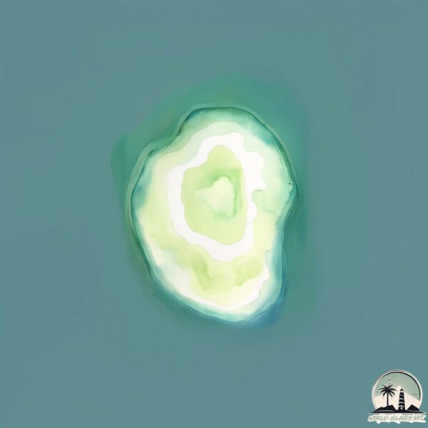
Welcome to Isla Daphne Mayor, a Tropical island in the South Pacific Ocean, part of the majestic Pacific Ocean. This guide offers a comprehensive overview of what makes Isla Daphne Mayor unique – from its geography and climate to its population, infrastructure, and beyond. Dive into the details:
- Geography and Size: Explore the island’s size and location.
- Climate and Weather: Weather patterns and temperature.
- Topography and Nature: Uncover the natural wonders of the island.
- Infrastructure and Travelling: Insights on reaching, staying, and making the most of your visit.
- News and Headlines: Latest News.
Geography and size of Isla Daphne Mayor
Size: 0.378 km²
Coastline: 2.4 km
Ocean: Pacific Ocean
Sea: South Pacific Ocean
Continent: South America
Isla Daphne Mayor is a Tiny Island spanning 0.378 km² with a coastline of 2.4 km.
Archipel: Galapagos Islands – An Ecuadorian archipelago in the Pacific Ocean, famous for their unique wildlife and as a key location for evolutionary studies.
Tectonic Plate: Nazca – An oceanic tectonic plate off the west coast of South America. Famous for the Nazca Lines, it’s primarily known for its subduction under the South American Plate, leading to the Andes Mountains’ formation and significant seismic activity.
The geographic heart of the island is pinpointed at these coordinates:
Latitude: -0.42247589 / Longitude: -90.37183288
Climate and weather of Isla Daphne Mayor
Climate Zone: Tropical
Climate Details: Tropical Savanna, Wet
Temperature: Hot
Climate Characteristics: Defined by distinct wet and dry seasons with high temperatures year-round. Pronounced rainfall occurs during the wet season, while the dry season is marked by drought.
Topography and nature of Isla Daphne Mayor
Timezone: UTC-06:00
Timezone places: America/Chicago
Max. Elevation: -6 m
Mean Elevation: -11 m
Vegetation: Shrubland
Tree Coverage: 32%
The mean elevation is -11 m. Remarkably, this unique island barely emerges above the sea level, showcasing nature’s fascinating interplay with the ocean. The island is characterized by Plains: Flat, low-lying lands characterized by a maximum elevation of up to 200 meters. On islands, plains are typically coastal lowlands or central flat areas.
Dominating Vegetation: Shrubland
Dominated by shrubs and small bushes, these areas are typical in dry, rocky, or sandy environments, as well as in regions with poor soil fertility. Isla Daphne Mayor has a tree cover of 32 %.
Vegetation: 2 vegetation zones – Low Diversity Island
Islands with two distinct vegetation zones offer slightly more ecological variety. These zones could be due to differences in elevation, moisture, or other environmental factors. While still limited in biodiversity, these islands may offer a contrast between the two zones, such as a coastline with mangroves and an inland area with grassland.
Infrastructure and Travelling to Isla Daphne Mayor
Does the island have a public airport? no.
There is no public and scheduled airport on Isla Daphne Mayor. The nearest airport is Seymour Galapagos Ecological Airport, located 12 km away.
Does the island have a major port? no.
There are no major ports on Isla Daphne Mayor. The closest major port is LA LIBERTAD, approximately 1069 km away.
The mean population of Isla Daphne Mayor is 2 per km². Isla Daphne Mayor is Gently Populated. The island belongs to Ecuador.
Continuing your journey, Baltra is the next notable island, situated merely km away.
Ecuador is classified as Developing region: Regions characterized by lower income levels, with economies in the process of industrialization and modernization. The level of income is Upper middle income.
News – Latest Updates and Headlines from Isla Daphne Mayor
Stay informed with the most recent news and important headlines from Isla Daphne Mayor. Here’s a roundup of the latest developments.
- Opinion | What Are U.S. Soldiers Doing in Ecuador? - WSJby "ecuador" - Google News on 11 October 2026
Opinion | What Are U.S. Soldiers Doing in Ecuador? WSJ
- Ecuador Is Ready To Deploy Aid for Panama Earthquake Victims — And It Already Knows Exactly How To Do It. - Latin Timesby "ecuador" - Google News on 11 October 2026
Ecuador Is Ready To Deploy Aid for Panama Earthquake Victims — And It Already Knows Exactly How To Do It. Latin Times
- Pest Management In Ecuador: How Farmer Knowledge And Access To Alternatives Can Reduce Pesticide Risks - Global Agricultureby "ecuador" - Google News on 11 October 2026
Pest Management In Ecuador: How Farmer Knowledge And Access To Alternatives Can Reduce Pesticide Risks Global Agriculture
- Nature: The Amazon jungle of Ecuador - Yahooby "ecuador" - Google News on 11 October 2026
Nature: The Amazon jungle of Ecuador Yahoo
- Nature: The Amazon jungle of Ecuador - CBS Newsby "ecuador" - Google News on 11 October 2026
Nature: The Amazon jungle of Ecuador CBS News
- Emirates Adds Seven Weekly Cargo Flights to Brazil, Argentina, Colombia and Ecuador - Rus Tourism Newsby "ecuador" - Google News on 11 October 2026
Emirates Adds Seven Weekly Cargo Flights to Brazil, Argentina, Colombia and Ecuador Rus Tourism News
- Expo Flor 2026 – Three Days at the Heart of Ecuadorian Floriculture - Thursdby "ecuador" - Google News on 11 October 2026
Expo Flor 2026 – Three Days at the Heart of Ecuadorian Floriculture Thursd
- US military assists Ecuador in 1st land operation against cartels: Source - ABC News - Breaking News, Latest News and Videosby "ecuador" - Google News on 11 October 2026
US military assists Ecuador in 1st land operation against cartels: Source ABC News - Breaking News, Latest News and Videos
- Ecuador's Expreso ends print edition after 53 years - UA.NEWSby "ecuador" - Google News on 10 October 2026
Ecuador's Expreso ends print edition after 53 years UA.NEWS
- A frog, a toad and Leonardo DiCaprio: Rinehart’s rainforest mine plan hits unusual problems - The Ageby "ecuador" - Google News on 10 October 2026
A frog, a toad and Leonardo DiCaprio: Rinehart’s rainforest mine plan hits unusual problems The Age
Please note: The data used here has been primarily extracted from satellite readings. Deviations from exact values may occur, particularly regarding the height of elevations and population density. Land area and coastline measurements refer to average values at mean high tide.