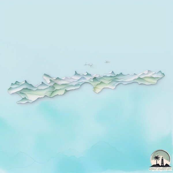
Isla de los Estados
Welcome to Isla de los Estados, a Polar island in the South Atlantic Ocean, part of the majestic Atlantic Ocean. This guide offers a comprehensive overview of what makes Isla de los Estados unique – from its geography and climate to its population, infrastructure, and beyond. Dive into the details:
- Geography and Size: Explore the island’s size and location.
- Climate and Weather: Weather patterns and temperature.
- Topography and Nature: Uncover the natural wonders of the island.
- Infrastructure and Travelling: Insights on reaching, staying, and making the most of your visit.
- News and Headlines: Latest News.
Geography and size of Isla de los Estados
Size: 483.9 km²
Coastline: 440.3 km
Ocean: Atlantic Ocean
Sea: South Atlantic Ocean
Continent: South America
Isla de los Estados is a Large Island spanning 484 km² with a coastline of 440 km.
Archipel: Andes fueguinos – A subregion of Tierra del Fuego in the southernmost tip of South America, known for its rugged mountain landscapes and remote beauty.
Tectonic Plate: Scotia – Situated in the Southern Ocean, surrounding the Scotia Sea, between South America and Antarctica, known for the Scotia Arc and active seismicity.
The geographic heart of the island is pinpointed at these coordinates:
Latitude: -54.79815431 / Longitude: -64.31785661
Climate and weather of Isla de los Estados
Climate Zone: Polar
Climate Details: Tundra
Temperature: Cold
Climate Characteristics: The tundra climate features long, extremely cold winters and short, cool summers. Vegetation is limited to mosses, lichens, and small shrubs due to the low temperatures and short growing seasons. Biodiversity is low, but some specialized species thrive.
Topography and nature of Isla de los Estados
Timezone: UTC-03:00
Timezone places: America/Sao_Paulo
Max. Elevation: 718 m
Mean Elevation: 204 m
Vegetation: Evergreen Broadleaf Forest
Tree Coverage: 53%
The mean elevation is 204 m. The highest elevation on the island reaches approximately 718 meters above sea level. The island is characterized by Plateau: Elevated flatlands rising sharply above the surrounding area, with a maximum elevation over 500 meters but a mean elevation less than 300 meters, forming unique highland areas on islands.
Dominating Vegetation: Evergreen Broadleaf Forest
Characterized by dense, lush canopies of broadleaf trees that retain their leaves year-round. These forests are typically found in tropical and subtropical regions and are known for their high biodiversity. Isla de los Estados has a tree cover of 53 %.
Vegetation: 12 vegetation zones – Exceptionally Diverse Island
Islands with more than ten vegetation zones are among the most ecologically rich and varied in the world. These islands are akin to miniature continents, boasting an incredible array of ecosystems. The sheer range of habitats, from high peaks to deep valleys, rainforests to deserts, creates a mosaic of life that is unparalleled. They are crucial for conservation and ecological studies.
Infrastructure and Travelling to Isla de los Estados
Does the island have a public airport? no.
There is no public and scheduled airport on Isla de los Estados. The nearest airport is Gobernador Ramón Trejo Noel International Airport, located 353 km away.
Does the island have a major port? no.
There are no major ports on Isla de los Estados. The closest major port is PUERTO WILLIAMS, approximately 316 km away.
The mean population of Isla de los Estados is 9 per km². Isla de los Estados is Gently Populated. The island belongs to Chile.
The name of the island resonates across different cultures and languages. Here is how it is known around the world: Arabic: جزيرة الدول; Spanish: Isla de los Estados; French: Île des États; Portuguese: Ilha dos Estados; Russian: Эстадос; Chinese: 艾斯塔多島
Continuing your journey, Nueva is the next notable island, situated merely km away.
Chile is classified as Emerging region: G20: Group of Twenty – Major economies comprising both developed and emerging countries, representing the world’s largest economies. The level of income is Upper middle income.
News – Latest Updates and Headlines from Isla de los Estados
Stay informed with the most recent news and important headlines from Isla de los Estados. Here’s a roundup of the latest developments.
Please note: The data used here has been primarily extracted from satellite readings. Deviations from exact values may occur, particularly regarding the height of elevations and population density. Land area and coastline measurements refer to average values at mean high tide.