Isla Espardell
Welcome to Isla Espardell, a Dry island in the Balearic (Iberian Sea), part of the majestic Atlantic Ocean. This guide offers a comprehensive overview of what makes Isla Espardell unique – from its geography and climate to its population, infrastructure, and beyond. Dive into the details:
- Geography and Size: Explore the island’s size and location.
- Climate and Weather: Weather patterns and temperature.
- Topography and Nature: Uncover the natural wonders of the island.
- Infrastructure and Travelling: Insights on reaching, staying, and making the most of your visit.
- News and Headlines: Latest News.
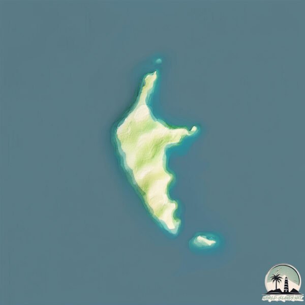
Geography and size of Isla Espardell
Size: 0.502 km²
Coastline: 4.4 km
Ocean: Atlantic Ocean
Sea: Balearic (Iberian Sea)
Continent: Europe
Isla Espardell is a Tiny Island spanning 0.502 km² with a coastline of 4.4 km.
Archipel: Balearic Islands – An archipelago off eastern Spain in the Mediterranean Sea, known for their vibrant culture, beautiful beaches, and popular tourist destinations like Mallorca and Ibiza.
Tectonic Plate: Eurasia – One of the world’s largest tectonic plates, the Eurasian Plate covers a significant portion of Europe and Asia. It’s characterized by diverse geological features, including the Ural Mountains, the European Plain, and the Himalayas formed from its collision with the Indian Plate.
The geographic heart of the island is pinpointed at these coordinates:
Latitude: 38.79665909 / Longitude: 1.47753075
Climate and weather of Isla Espardell
Climate Zone: Dry
Climate Details: Hot Semi-Arid (Steppe) Climate
Temperature: Hot
Climate Characteristics: Features hot summers and mild to warm winters. Receives more rainfall than hot deserts but less than tropical savannas, leading to a somewhat more varied landscape.
Topography and nature of Isla Espardell
Timezone: UTC+01:00
Timezone places: Europe/Paris
Max. Elevation: 1 m
Mean Elevation: -4 m
Vegetation: Sparse Vegetation
Tree Coverage: 0%
The mean elevation is -4 m. The highest elevation on the island reaches approximately 1 meters above sea level. The island is characterized by Plains: Flat, low-lying lands characterized by a maximum elevation of up to 200 meters. On islands, plains are typically coastal lowlands or central flat areas.
Dominating Vegetation: Sparse Vegetation
These regions have limited plant growth, typically due to extreme conditions like aridity or poor soils. Vegetation is scattered and consists of hardy plant species. Isla Espardell has a tree cover of 0 %.
Vegetation: 1 vegetation zones – Minimal Diversity Island
These islands exhibit the most basic level of ecological diversity, often characterized by a single dominant vegetation type. This could be due to extreme environmental conditions, limited land area, or significant human impact. They represent unique ecosystems where specific species have adapted to thrive in these singular environments.
Infrastructure and Travelling to Isla Espardell
Does the island have a public airport? no.
There is no public and scheduled airport on Isla Espardell. The nearest airport is Ibiza Airport, located 14 km away.
Does the island have a major port? no.
There are no major ports on Isla Espardell. The closest major port is IBIZA, approximately 11 km away.
The mean population of Isla Espardell is 161 per km². Isla Espardell is Moderately Inhabited. The island belongs to Spain.
Continuing your journey, Isla de Formentera is the next notable island, situated merely km away.
Spain is classified as Developed region: nonG7: Developed economies outside of the Group of Seven, characterized by high income and advanced economic structures. The level of income is High income: OECD.
News – Latest Updates and Headlines from Isla Espardell
Stay informed with the most recent news and important headlines from Isla Espardell. Here’s a roundup of the latest developments.
Please note: The data used here has been primarily extracted from satellite readings. Deviations from exact values may occur, particularly regarding the height of elevations and population density. Land area and coastline measurements refer to average values at mean high tide.