
Ma-do
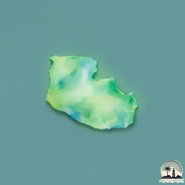
Welcome to Ma-do, a Temperate island in the Japan Sea, part of the majestic Pacific Ocean. This guide offers a comprehensive overview of what makes Ma-do unique – from its geography and climate to its population, infrastructure, and beyond. Dive into the details:
- Geography and Size: Explore the island’s size and location.
- Climate and Weather: Weather patterns and temperature.
- Topography and Nature: Uncover the natural wonders of the island.
- Infrastructure and Travelling: Insights on reaching, staying, and making the most of your visit.
- News and Headlines: Latest News.
Geography and size of Ma-do
Size: 0.182 km²
Coastline: 2.1 km
Ocean: Pacific Ocean
Sea: Japan Sea
Continent: Asia
Ma-do is a Tiny Island spanning 0.182 km² with a coastline of 2.1 km.
Archipel: –
Tectonic Plate: Amur – A minor tectonic plate in the region of the Amur River at the border of Russia and China, involved in complex interactions with the Pacific and Eurasian plates.
The geographic heart of the island is pinpointed at these coordinates:
Latitude: 34.93608011 / Longitude: 128.03073915
Climate and weather of Ma-do
Climate Zone: Temperate
Climate Details: Monsoon-Influenced Humid Subtropical Climate
Temperature: Hot Summer
Climate Characteristics: Known for hot, humid summers with significant monsoon rains, contrasted by mild, drier winters.
Topography and nature of Ma-do
Timezone: UTC+09:00
Timezone places: Asia/Tokyo
Max. Elevation: 3 m
Mean Elevation: 3 m
Vegetation: Evergreen Needleleaf Forest
Tree Coverage: 84%
The mean elevation is 3 m. The highest elevation on the island reaches approximately 3 meters above sea level. The island is characterized by Plains: Flat, low-lying lands characterized by a maximum elevation of up to 200 meters. On islands, plains are typically coastal lowlands or central flat areas.
Dominating Vegetation: Evergreen Needleleaf Forest
Dominated by evergreen coniferous trees such as pines and firs, which retain their needle-like leaves throughout the year. These forests are often found in cooler climates. Ma-do has a tree cover of 84 %.
Vegetation: 1 vegetation zones – Minimal Diversity Island
These islands exhibit the most basic level of ecological diversity, often characterized by a single dominant vegetation type. This could be due to extreme environmental conditions, limited land area, or significant human impact. They represent unique ecosystems where specific species have adapted to thrive in these singular environments.
Infrastructure and Travelling to Ma-do
Does the island have a public airport? no.
There is no public and scheduled airport on Ma-do. The nearest airport is Sacheon Airport / Sacheon Air Base, located 17 km away.
Does the island have a major port? no.
There are no major ports on Ma-do. The closest major port is GWANGYANG HANG, approximately 27 km away.
The mean population of Ma-do is 257 per km². Ma-do is Moderately Inhabited. The island belongs to South Korea.
Continuing your journey, Chanson To is the next notable island, situated merely km away.
South Korea is classified as Emerging region: MIKT: Mexico, Indonesia, South Korea, and Turkey – Economies recognized for their development potential and emerging market status. The level of income is High income: OECD.
News – Latest Updates and Headlines from Ma-do
Stay informed with the most recent news and important headlines from Ma-do. Here’s a roundup of the latest developments.
- South Korea’s Current Account Surplus Reaches $116.63 Billion in Second Quarter - Qatar news agencyby "south-korea" - Google News on 25 October 2026
South Korea’s Current Account Surplus Reaches $116.63 Billion in Second Quarter Qatar news agency
- Beyond Seoul, Busan Is Emerging as South Korea’s Next Great Destination - Koreabizwireby "south-korea" - Google News on 25 October 2026
Beyond Seoul, Busan Is Emerging as South Korea’s Next Great Destination Koreabizwire
- Foreigners’ contributions in South Korea exceeded payouts by 989.1 billion won — Korea Herald - UA.NEWSby "south-korea" - Google News on 25 October 2026
Foreigners’ contributions in South Korea exceeded payouts by 989.1 billion won — Korea Herald UA.NEWS
- Footage released of huge S. Korean national flag on Dokdo Island - Yonhap News Agencyby "south-korea" - Google News on 25 October 2026
Footage released of huge S. Korean national flag on Dokdo Island Yonhap News Agency
- A Decades-Old Drug Conviction Tests the Limits of Employment Rights in South Korea - Koreabizwireby "south-korea" - Google News on 25 October 2026
A Decades-Old Drug Conviction Tests the Limits of Employment Rights in South Korea Koreabizwire
- 'Call of Duty' North Korea invasion edition tops sales charts in South - Bangkok Postby "south-korea" - Google News on 25 October 2026
'Call of Duty' North Korea invasion edition tops sales charts in South Bangkok Post
- North Korean leader Kim Jong Un visits China to inaugurate a new cross-border bridge - AP Newsby "south-korea" - Google News on 25 October 2026
North Korean leader Kim Jong Un visits China to inaugurate a new cross-border bridge AP News
- Call Of Duty’s North Korea invasion edition tops sales charts in South Korea - The Straits Timesby "south-korea" - Google News on 25 October 2026
Call Of Duty’s North Korea invasion edition tops sales charts in South Korea The Straits Times
- Korea cruise arrivals near 1.3 million, poised to top 2 million - Korea JoongAng Dailyby "south-korea" - Google News on 25 October 2026
Korea cruise arrivals near 1.3 million, poised to top 2 million Korea JoongAng Daily
- France Erupted in Riots Over Raising Retirement Age by 2 Years; in South Korea, 88% Back Working Until 65 — Pension Replacement Rates Explain the Divide - BigGo Financeby "south-korea" - Google News on 25 October 2026
France Erupted in Riots Over Raising Retirement Age by 2 Years; in South Korea, 88% Back Working Until 65 — Pension Replacement Rates Explain the Divide BigGo Finance
Please note: The data used here has been primarily extracted from satellite readings. Deviations from exact values may occur, particularly regarding the height of elevations and population density. Land area and coastline measurements refer to average values at mean high tide.