
Matthews Island
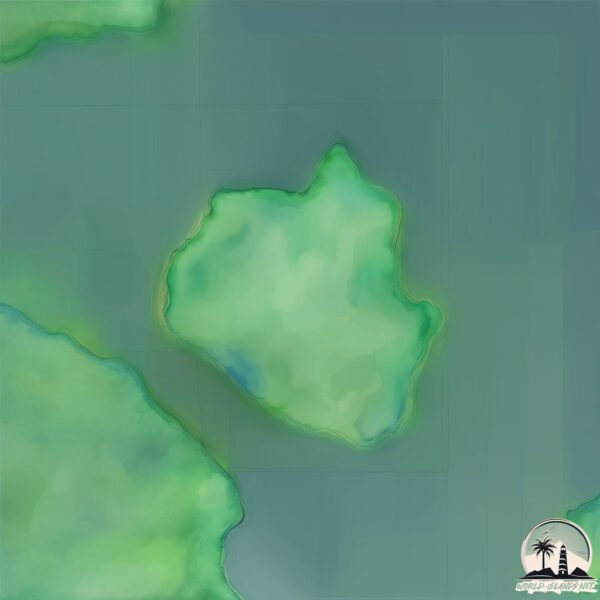
Welcome to Matthews Island, a Temperate island in the North Pacific Ocean, part of the majestic Pacific Ocean. This guide offers a comprehensive overview of what makes Matthews Island unique – from its geography and climate to its population, infrastructure, and beyond. Dive into the details:
- Geography and Size: Explore the island’s size and location.
- Climate and Weather: Weather patterns and temperature.
- Topography and Nature: Uncover the natural wonders of the island.
- Infrastructure and Travelling: Insights on reaching, staying, and making the most of your visit.
- News and Headlines: Latest News.
Geography and size of Matthews Island
Size: 0.487 km²
Coastline: 3.7 km
Ocean: Pacific Ocean
Sea: North Pacific Ocean
Continent: North America
Matthews Island is a Tiny Island spanning 0.487 km² with a coastline of 3.7 km.
Archipel: –
Tectonic Plate: North America – Covers North America and parts of the Atlantic and Arctic Oceans, characterized by diverse geological features and varying levels of seismic activity.
The geographic heart of the island is pinpointed at these coordinates:
Latitude: 50.48080533 / Longitude: -128.04212511
Climate and weather of Matthews Island
Climate Zone: Temperate
Climate Details: Temperate Oceanic Climate
Temperature: Warm Summer
Climate Characteristics: Known for its moderate year-round temperatures with ample rainfall and no dry season. Warm summers are characteristic.
Topography and nature of Matthews Island
Timezone: UTC-08:00
Timezone places: America/Los_Angeles
Max. Elevation: 33 m
Mean Elevation: 23 m
Vegetation: Evergreen Needleleaf Forest
Tree Coverage: 85%
The mean elevation is 23 m. The highest elevation on the island reaches approximately 33 meters above sea level. The island is characterized by Plains: Flat, low-lying lands characterized by a maximum elevation of up to 200 meters. On islands, plains are typically coastal lowlands or central flat areas.
Dominating Vegetation: Evergreen Needleleaf Forest
Dominated by evergreen coniferous trees such as pines and firs, which retain their needle-like leaves throughout the year. These forests are often found in cooler climates. Matthews Island has a tree cover of 85 %.
Vegetation: 3 vegetation zones – Moderately Diverse Island
These islands start to show a broader range of ecological niches. With three vegetation zones, they may offer a mix of ecosystems like coastal areas, inland woods, and perhaps a distinct wetland or dry area. This diversity supports a wider range of flora and fauna, making these islands more ecologically complex than those with minimal diversity.
Infrastructure and Travelling to Matthews Island
Does the island have a public airport? no.
There is no public and scheduled airport on Matthews Island. The nearest airport is Port Hardy Airport, located 78 km away.
Does the island have a major port? no.
There are no major ports on Matthews Island. The closest major port is BERGH COVE, approximately 47 km away.
The mean population of Matthews Island is 0 per km². Matthews Island is Uninhabited. The island belongs to Canada.
Continuing your journey, Hope is the next notable island, situated merely km away.
Canada is classified as Developed region: G7: Group of Seven – Major advanced economies, including Canada, France, Germany, Italy, Japan, the United Kingdom, and the United States. The level of income is High income: OECD.
News – Latest Updates and Headlines from Matthews Island
Stay informed with the most recent news and important headlines from Matthews Island. Here’s a roundup of the latest developments.
Please note: The data used here has been primarily extracted from satellite readings. Deviations from exact values may occur, particularly regarding the height of elevations and population density. Land area and coastline measurements refer to average values at mean high tide.