Tankharo
Welcome to Tankharo, a Tropical island in the Bay of Bengal, part of the majestic Indian Ocean. This guide offers a comprehensive overview of what makes Tankharo unique – from its geography and climate to its population, infrastructure, and beyond. Dive into the details:
- Geography and Size: Explore the island’s size and location.
- Climate and Weather: Weather patterns and temperature.
- Topography and Nature: Uncover the natural wonders of the island.
- Infrastructure and Travelling: Insights on reaching, staying, and making the most of your visit.
- News and Headlines: Latest News.
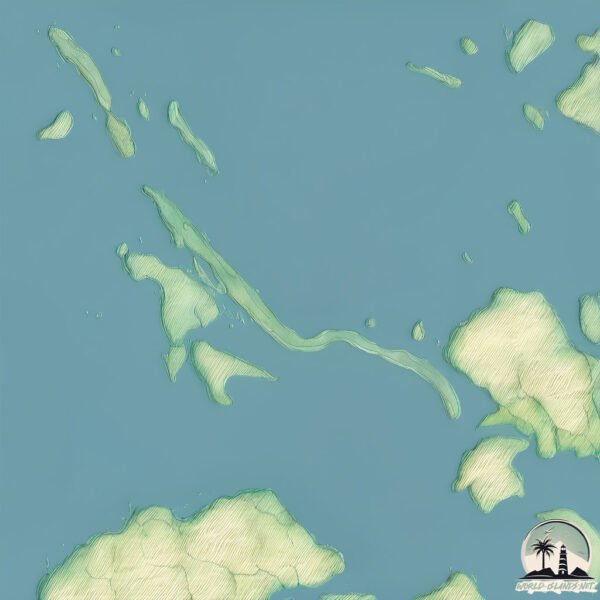
Geography and size of Tankharo
Size: 4.901 km²
Coastline: 28.8 km
Ocean: Indian Ocean
Sea: Bay of Bengal
Continent: Asia
Tankharo is a Small Island spanning 4.9 km² with a coastline of 28.8 km.
Archipel: –
Tectonic Plate: India – A major tectonic plate that initially moved northward at a rapid pace before colliding with the Eurasian Plate. This collision is responsible for the uplift of the Himalayas and the Tibetan Plateau.
The geographic heart of the island is pinpointed at these coordinates:
Latitude: 19.49203999 / Longitude: 93.54763275
Climate and weather of Tankharo
Climate Zone: Tropical
Climate Details: Tropical Monsoon Climate
Temperature: Hot
Climate Characteristics: Characterized by heavy rainfall, high humidity, and uniformly high temperatures, but with a distinct short dry season. It features a seasonal reversal of prevailing wind directions.
Topography and nature of Tankharo
Timezone: UTC+06:30
Timezone places: Asia/Rangoon
Max. Elevation: 42 m
Mean Elevation: 23 m
Vegetation: Evergreen Needleleaf Forest
Tree Coverage: 64%
The mean elevation is 23 m. The highest elevation on the island reaches approximately 42 meters above sea level. The island is characterized by Plains: Flat, low-lying lands characterized by a maximum elevation of up to 200 meters. On islands, plains are typically coastal lowlands or central flat areas.
Dominating Vegetation: Evergreen Needleleaf Forest
Dominated by evergreen coniferous trees such as pines and firs, which retain their needle-like leaves throughout the year. These forests are often found in cooler climates. Tankharo has a tree cover of 64 %.
Vegetation: 8 vegetation zones – Very Highly Diverse Island
Islands in this range are ecological powerhouses, showcasing a wide array of vegetation zones. Each zone, from lush rainforests to arid scrublands, coastal mangroves to mountainous regions, contributes to a complex and interdependent ecosystem. These islands are often hotspots of biodiversity, supporting numerous species and intricate ecological processes.
Infrastructure and Travelling to Tankharo
Does the island have a public airport? no.
There is no public and scheduled airport on Tankharo. The nearest airport is Kyaukpyu Airport, located 6 km away.
Does the island have a major port? no.
There are no major ports on Tankharo. The closest major port is SITTWE, approximately 96 km away.
The mean population of Tankharo is 122 per km². Tankharo is Moderately Inhabited. The island belongs to Myanmar.
Continuing your journey, Kyunthaya is the next notable island, situated merely km away.
Myanmar is classified as Least developed region: Countries that exhibit the lowest indicators of socioeconomic development, with the lowest Human Development Index ratings. The level of income is Low income.
News – Latest Updates and Headlines from Tankharo
Stay informed with the most recent news and important headlines from Tankharo. Here’s a roundup of the latest developments.
Please note: The data used here has been primarily extracted from satellite readings. Deviations from exact values may occur, particularly regarding the height of elevations and population density. Land area and coastline measurements refer to average values at mean high tide.